A great weekend visiting family, and going to my niece’s wedding. We even worked in a trip up American Fork Canyon to see the fall colors.
We got to the airport Sunday morning and it was windy… There is no weather at Skypark (KBTF) but Salt Lake (KSLC) is only 6 miles to the South and it was reporting winds from 210 at 17 gusting 24. That’s 40 degrees off of runway 17 but still doable.
The busy airport that we flew into on Friday was now virtually deserted. There was nobody moving around on the ramp and we only saw one plane (a Cessna) land while I was doing pre-flight.
The departure end of Runway 17 is less that 2 miles from the surface area of KSLC’s Bravo airspace. I hadn’t ever flow out of KTBF so I had looked through everything I could in the Airport/Facility Directory, AirNav, etc… looking for info on departing to the south the day before. I decided I would make a crosswind turn and as I climbed out I would ask for the VFR transition route south along the 15 freeway. As we taxied to the end of 17 I saw a very worn sign stating for a south departure to contact Salt Lake Approach on 120.9. Following a run-up I called them up. They instructed me to contact Salt Lake Tower. (It was a quiet morning and often during slower times they combine multiple sectors.
Me: “Salt Lake Tower, Mooney 78878, on the ground at Skypark, will be departing to the south, looking for the VFR transition.”
Tower: “November 78878, squawk VFR, depart at your own risk, contact me when you are in the air.”
Me: “Depart at my own risk, squawk VFR and will contact you in the air, 878.”
While the “depart at your own risk” might sound ominous, it is just because I was not at their airport so they have no ability to give me takeoff clearance. He was letting me know that I am responsible for departing safely.
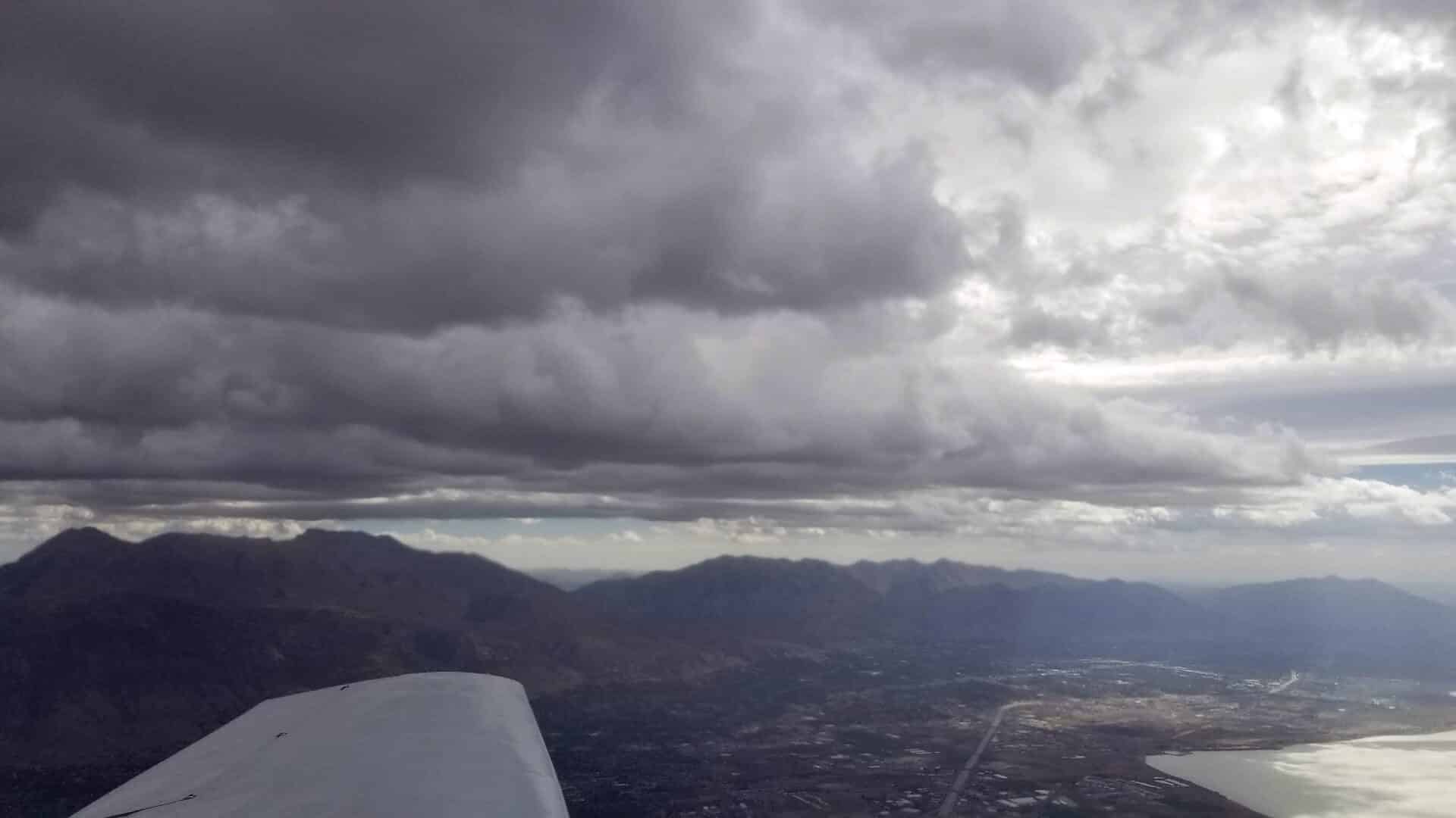
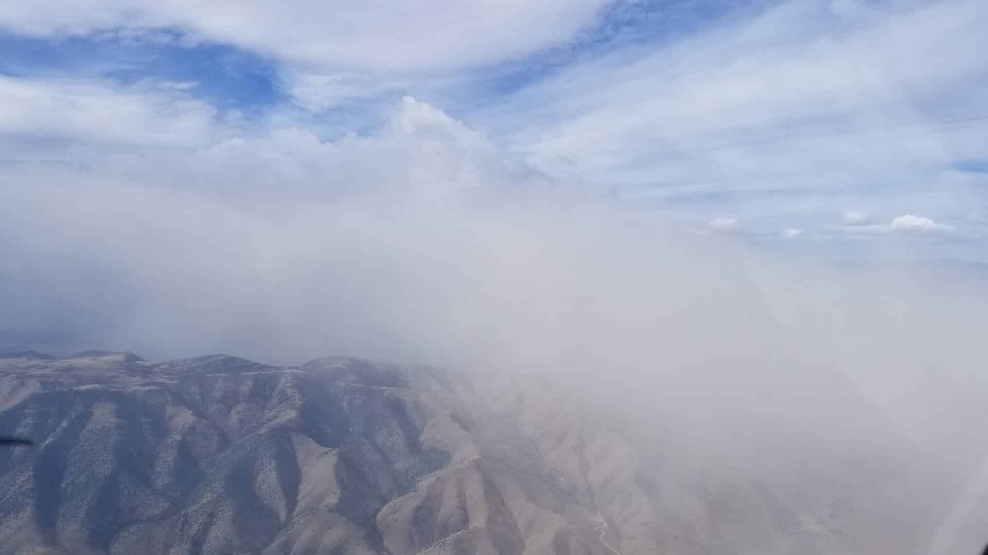
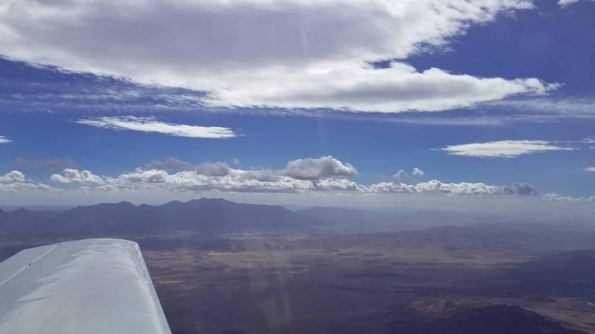
With the brisk wind we were off the ground quickly and I switched over to SLC Tower who cleared us through the Bravo and told us to climb and maintain 6,000′ and remain over the 15 freeway. Before we got to 6,000′ he amended our instructions and told us to climb and maintain 7,500′. There was a huge dust cloud coming up from the southwest and by the time we were at 7,500′ we were in the thick of it. Salt Lake was reporting 10 miles visibility and South Valley Regional was reporting 5 miles but I think it was somewhere around 3 miles at 7,500′. I could see the faint outlines of the mountains to the East and somewhat make out some clouds above and in front of us but could not see the freeway in front of us. With my wife keeping an eye out the right side of the plane and letting me know how close we were to the freeway I was able to stay on course, just to the east of it.
Before reaching the point of the mountain Approach asked what our destination was and cruising altitude.
Me: “St George and one-zero thousand, five hundred, ten thousand five hundred.”
Approach: “Would you like flight following?”
Me: “Sure, if we can get it.”
Approach: “November 78878, squawk xxxx, VFR climb approved to one-zero thousand, five hundred.”
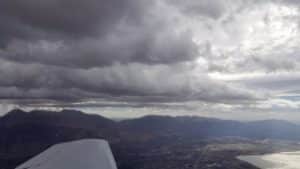
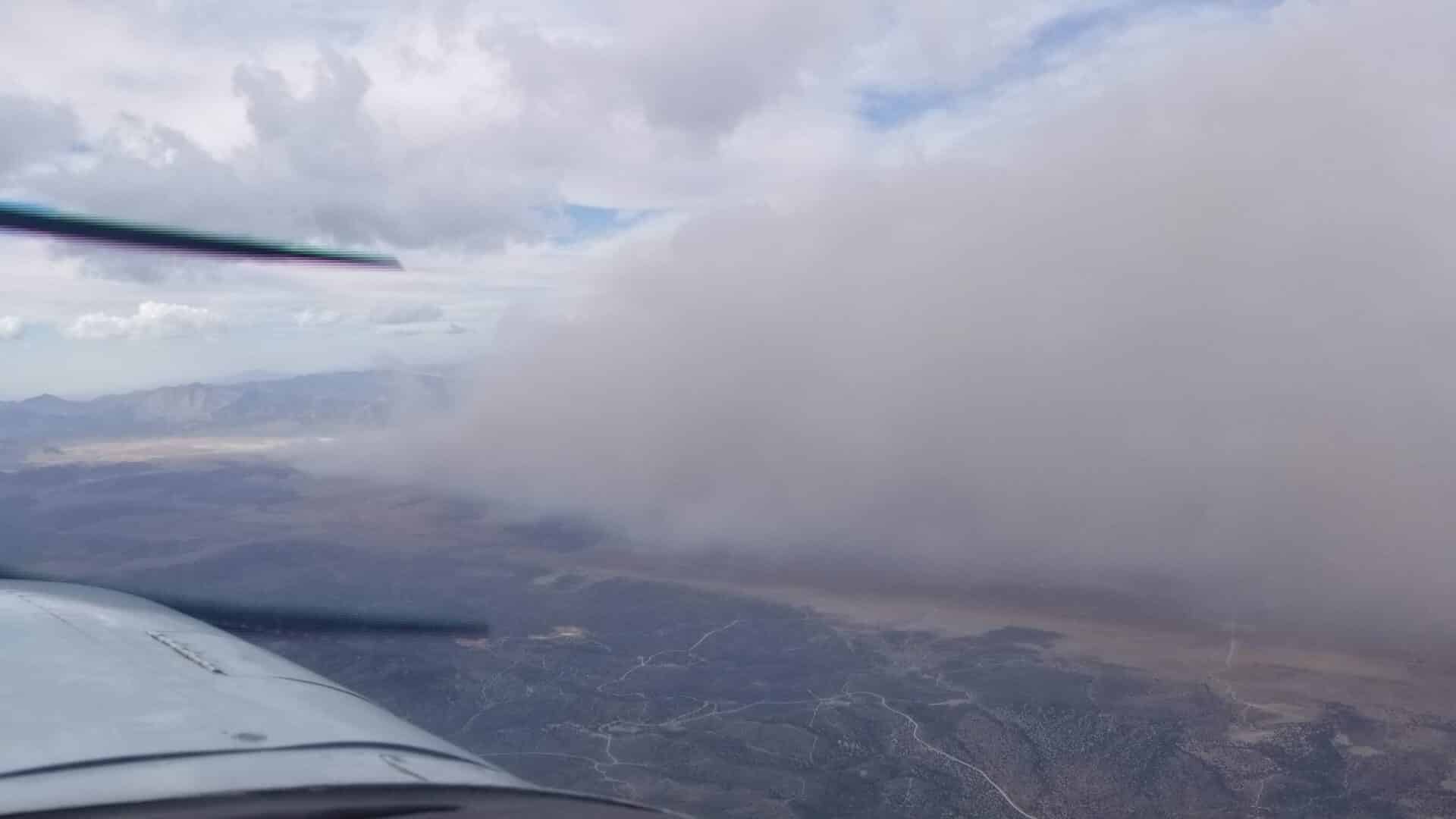
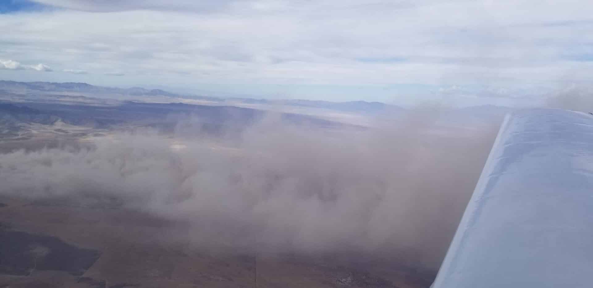
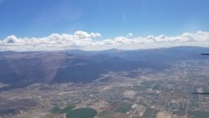
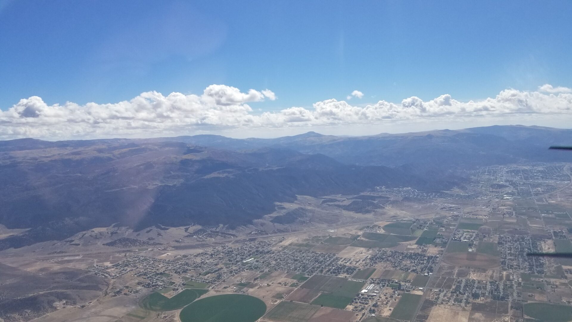
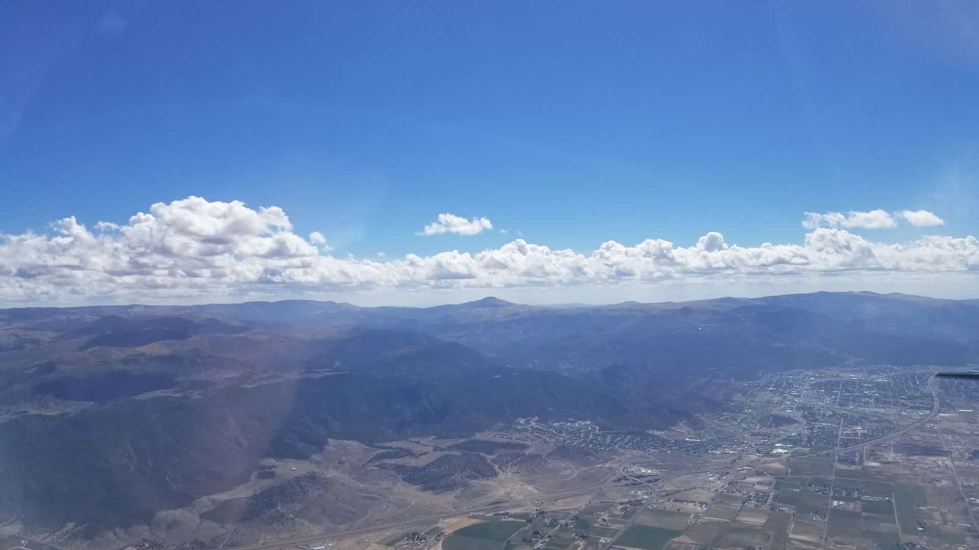
We had already been assigned a squawk code but with the new destination and not just transiting the Bravo we were given a new code. As we crossed into Utah County and over and over Utah Lake we were finally out of the dust and into clear air, we were unfortunately also now flying into a 40+ knot headwind… Eventually we found the source of that dust cloud. The winds were picking up the dirt from a dry farmer’s field and carrying it up into the air. What started out in southwest Utah County was filling the skies over 60 miles to the northeast.
-
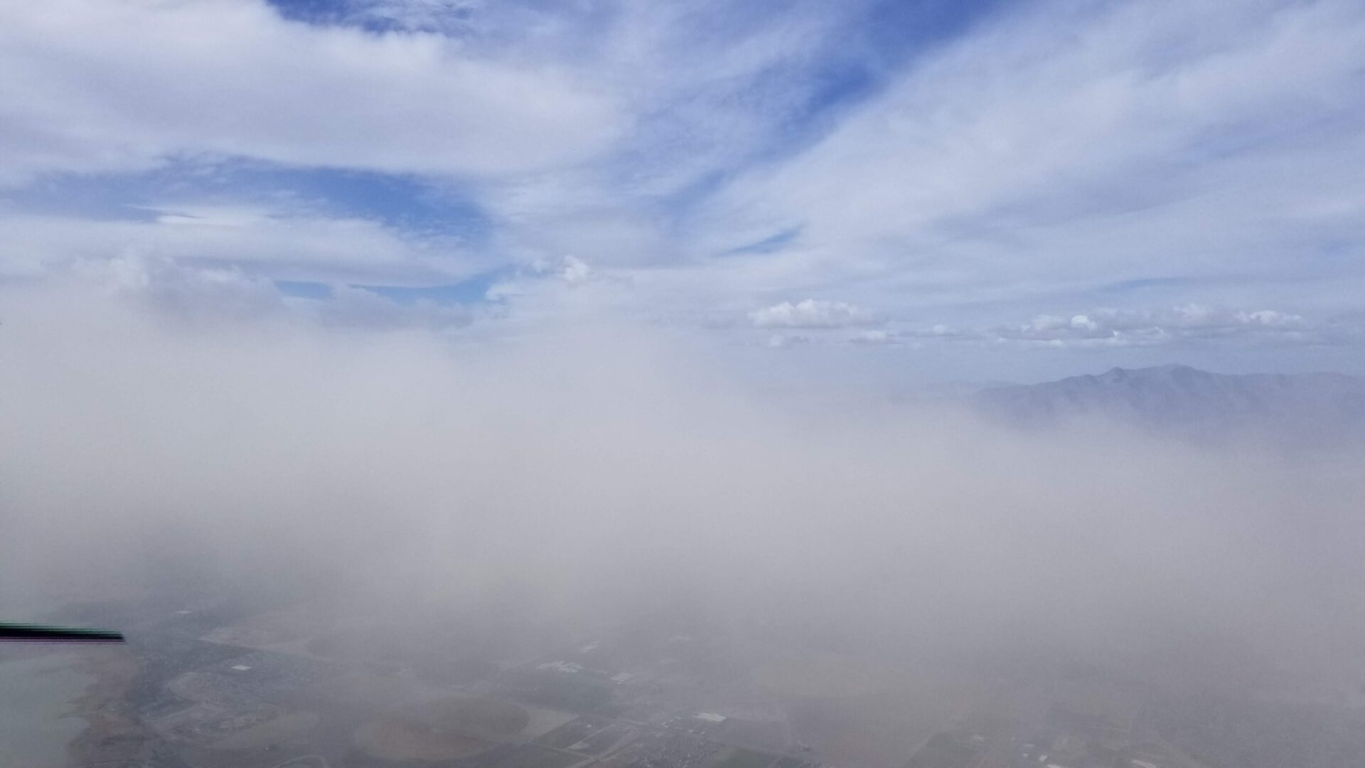
- Out of the dust over Utah Lake
-
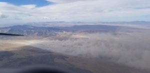
- Origin of the dust could

-
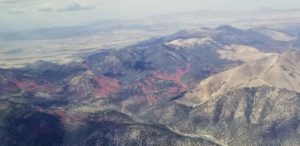
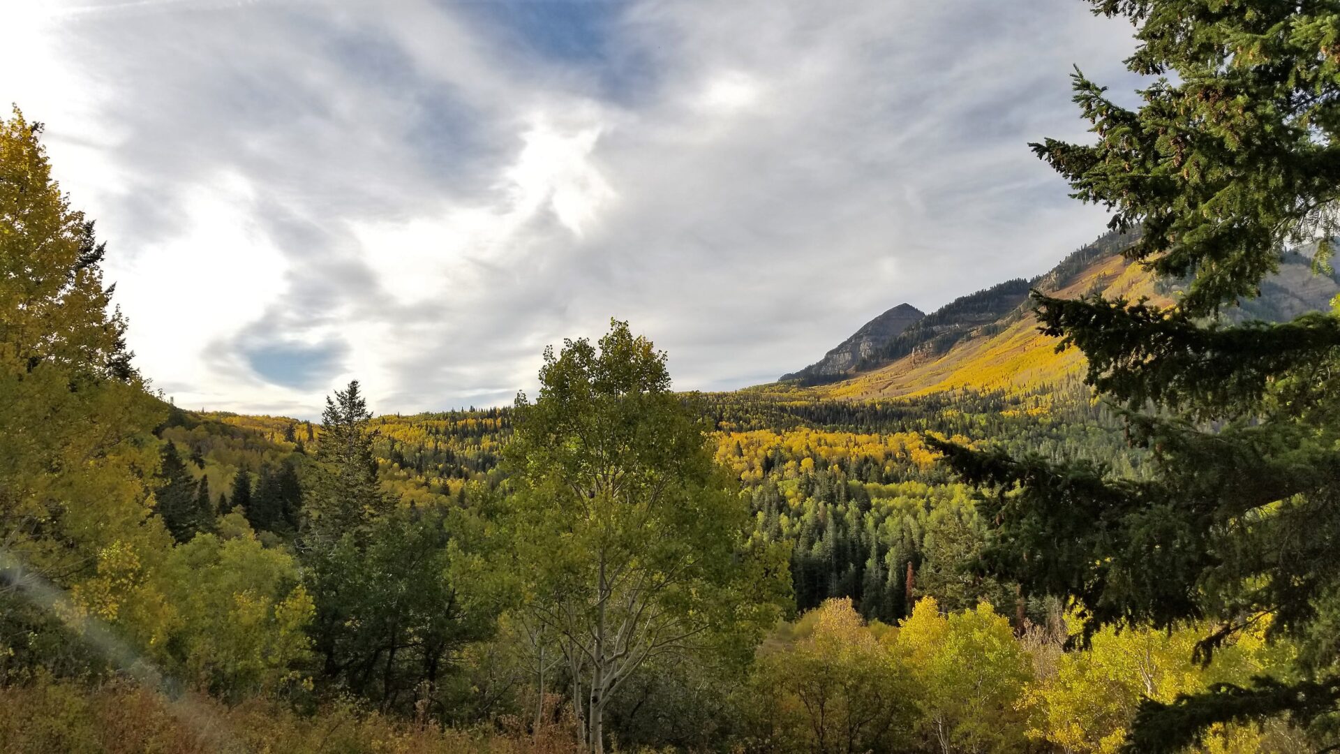
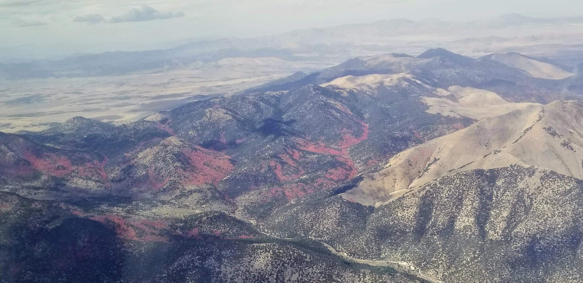
- Fall Colors
-
- Cedar City
-

- Cedar City
The rest of the flight to St George was “sporting” to say the least. Despite a true airspeed of 162mph our ground speed dipped below 100mph a few times. Over the mountains north of Delta we would alternate between a nose up attitude barely maintaining 90mph indicated airspeed while trying to maintain altitude, to a nose down attitude and pulling the power back to keep from gaining altitude while at the same time trying to stay out of the yellow arc giving the bumpy conditions. At one point with the airspeed indicator showing just under 100mph we hit enough of a pocket that the stall horn chirped. Once we got over those mountains and into the wide valley the air smoothed out, but the headwinds didn’t go away.
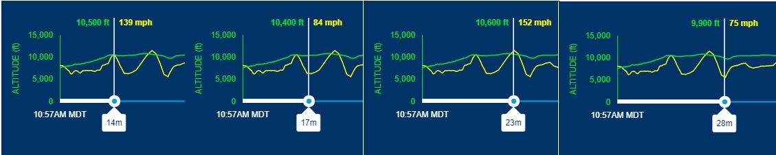
Riding the wave, you can see the time in the flight and the increase and decrease in airspeed as we tried to hold altitude.
Eventually we were on approach down the canyon from Cedar City to St George with the power pulled way back to keep our speed down. The winds were from 260 17 gusting 24 at almost a direct crosswind landing on runway 19. The Mooney handles a crosswind well but I had full rudder in to maintain my alignment.
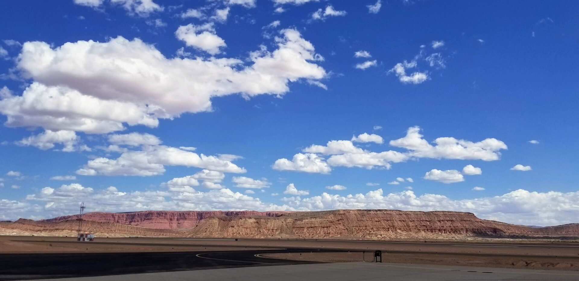
I always love the contrast between the red cliffs and the blue sky in St George
After fueling up we taxied over to the FBO to meet my wife’s dad and have a home cooked lunch. As we pulled to a stop and got out the line guy was walking over and asked if we needed anything. I told him no and we chatted for a minute about the two corporate jets parked on the ramp, one right in front of the doors to the FBO.
Lineman: “I don’t know why they always park right there.”
Me: “The jets?”
Lineman: “Yeah.”
Me: Sarcastically, “Because they are cool.”
Lineman: “Meh, you guys are all the same to me.”
Smart guy, you never know who the guy getting out of the single engine plane is, and if you don’t treat him as well as everyone else you may upset the guy who flies or owns a corporate jet.
After a delicious lunch we were back on our way, climbing back up to 10,500′ and heading southwest towards home just underneath a broken layer of beautiful clouds. Fortunately the winds were not as bad and we made better time than on our last leg.
-
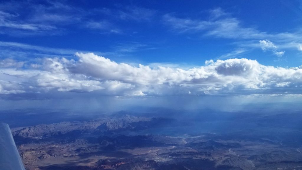
- Afternoon storms over Lake Mead
-
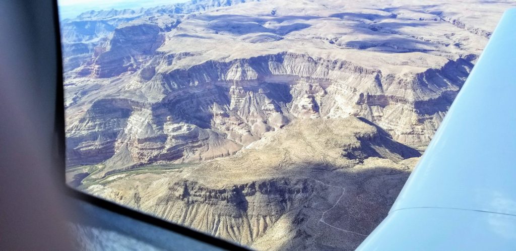
- Virgin River Gorge
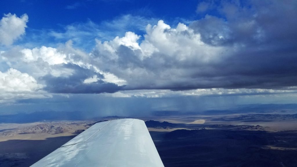
-
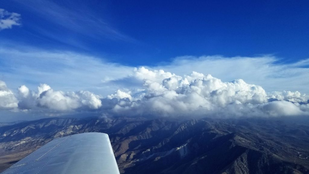
- Glad we weren’t trying to get to Big Bear
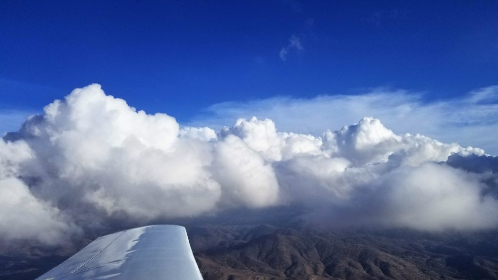
-
- Coming over Lake Arrowhead to slip below the clouds
-
- It didn’t look like it in the previous picture, but there was plenty of room below the clouds.
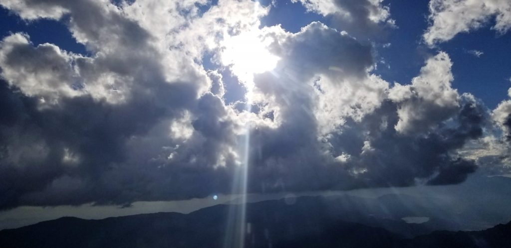
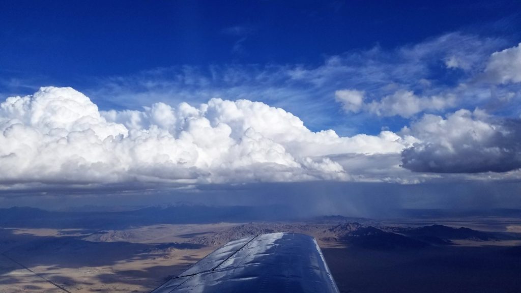
South of Vegas ATC was routing planes around a huge buildup to the east of our flight path, the top of which was over 40,000′. In a surreal moment we listened to ATC trying to call up a plane that was heading right for the buildup. After multiple attempts to reach the pilot ATC reached out to another plane and asked them to try and contact the pilot. We were listening to ATC and monitoring Guard on 121.5 so heard the commercial airline try multiple times to contact the pilot without success. Checking later there were no reports of a plane going down so he must have turned away from the dangerous storm.
PIREPS and storms over the desert east of us.
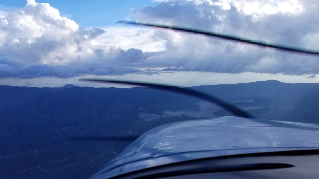
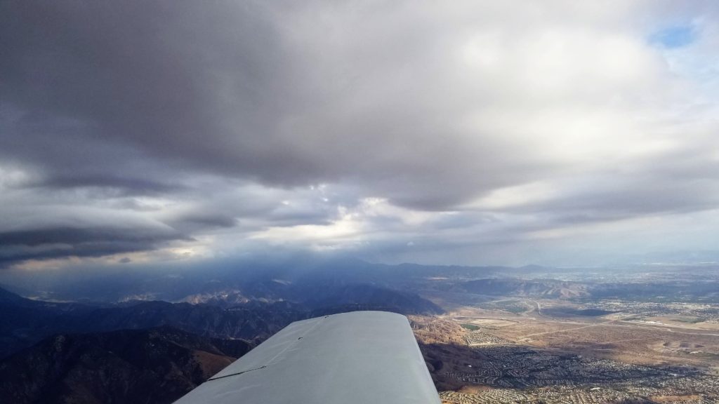
The clouds were getting lower so we started our descent just north of Barstow/Daggett to keep proper cloud clearance for VFR flight. We picked our way between the ever lowering clouds before slipping over the mountain ridge north of San Bernardino and continuing our descent into the Inland Empire. The Corona Airport frequency was quiet and the visibility excellent as we swung around from the south to enter the pattern for a landing on 25. Despite the bumpy start to the flight up in Utah, cruising beneath the clouds across the desert was simply gorgeous.